![]()
![]()
![]()
![]()
![]()
![]()
![]()
![]()
![]()
![]()
![]()
![]()
![]()
![]()
![]()
![]()
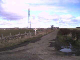 |
This service road leaves the main road from Monikie Village (from the right) to Husbandtown / Lucky Slap (to the left). It provides access to Stotfaulds Farm and Loanhead (which can just be seen at the 'top' of the road). About a quarter mile ahead is Stotfaulds Farm steading and other buildings. The pylon is part of the National Grid and carries a major electricity supply. |
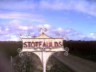 |
As it says! |
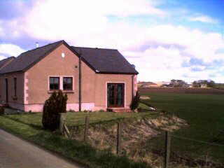 |
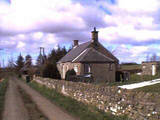
The modernised cottage at Loanhead. The building was originally two farm cottages which had lain empty for some years. Today, they are hardly recognisable after being the subject of recent substantial modernisation into a very pleasant residence. |
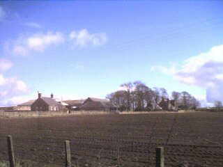 |
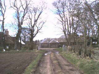
Approaching the farm. The Farmhouse is to the centre right. The single cottage to the centre left appears in the next photo. |
 |
A single cottage quite near to the farm steading. The trees to the right, in the distance, are at Carrot Hill. |
 |
The view of the farm approaching from the east along the old 'Kirk Road' referred to in 'The Monikie Story'. The farmhouse is to the left and the agricultural buildings ahead and right. |
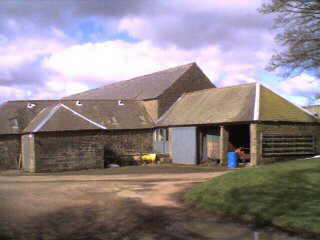 |
Entering the farm from the 'Kirk Road'. |
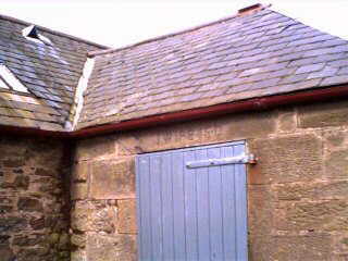 |
One of the old buildings with a date and mason's initials J.W. on the door lintel. This building may have been a bothy or other workers' accommodation at some time but, like many farm cottages, it has been 'incorporated' into the agricultural use. |
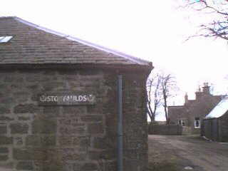 |
In the distance is the Farmhouse. To the right is the wall of buildings which again may have been farm-workers' accommodation, but now used as storage units. The sign has 'seen better days'. |
Use our SEARCH ENGINE to find records of previous occupiers of these addresses.
LOCAL INTEREST
¤ FAMILY HISTORY INTEREST ¤ NEWBIGGING INTEREST ¤ ARLENE'S
LISTS ¤ LOCAL BUSINESS ¤ 'DOWN THE AGES'
CHURCH PAGES ¤ CHURCH MAGAZINE
¤ OLD BOOK EXTRACTS ¤ STIRLING
SURNAME ¤ MONIKIE MEMORIAL HALL ¤ 'THE MONIKIE STORY'
WEB PAGES LIST ¤ SEARCH
THIS WEBSITE ¤ HOMEPAGE ¤ CONTACT
& EMAIL
Please press the BACK BUTTON for your previous page.